Cycling tour | ...
Via Claudia Augusta
The Romans built the first real road between the Adriatic and Augsburg in six decades about 2,000 years ago. This enabled military supplies for the troops of Emperor Claudius and facilitated the movement of goods.
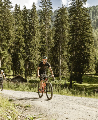
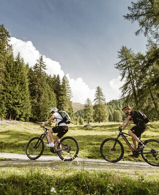
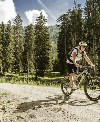
Today, you can enjoy the most attractive sides of Tyrol by bike on this 130 kilometre route.
Within three cycle path stages you will reach the Fernpass from Füssen, further to Landeck and Nauders up to the Reschenpass. Both passes can also be reached by shuttle.
Experience wonderful insights and views of the varied natural landscape along the Via Claudia Augusta, visit culturally interesting sites and museums and fortify yourself in one of the numerous inns with old Roman delicacies newly interpreted.
The culinary bike package offers individual travellers a great combination of fantastic nature experiences and delicious food along the cycle path.
You can plan your trip in detail on www.maps.viaclaudia.org.
Here you will find tips for accommodation, places of interest and a journey planner with GPX track generator.
tour1
5468m
685km
Highest point
1510m
Start point
Füssen
End point
Reschenpass

