Mountainbike tour | ...
7100 | S-F-L Extrem Tour
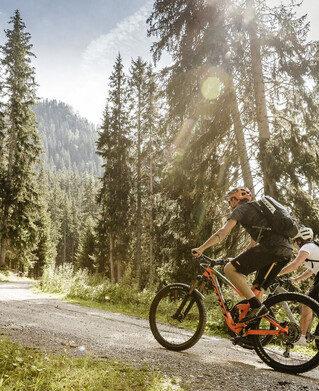
On this tour, you should organise your strength well and not use up your reserves too early. The first section from the starting point at H2O Ried in the direction of Fließ is therefore very convenient: A leisurely
on the flat tarmac road of the cycle path. The 16 kilometre and 1600 metre ascent to the Fisser Joch at 2435m starts at Neuer Zoll. Mostly through wooded areas, you follow
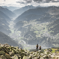
mostly through wooded areas along a forest path into the Urgtal valley until the Almbahn valley station becomes visible and the Schöngampalm is already waiting as the first intermediate destination. Here you can top up your energy reserves before continuing on to the Fisser Joch. Once at the top, you will be rewarded for your efforts with a magnificent panorama of the Inn Valley or the Urgtal Valley on the other side. The descent continues along the numerous hairpin bends to Steinegg and then along the alpine path via Frommesalp to Fiss. At the bike park in Fiss, take the forest path to Serfaus. Continue largely on tarmac and follow the signs down into the valley to Tschuppbach. Concentration is required once again on the following
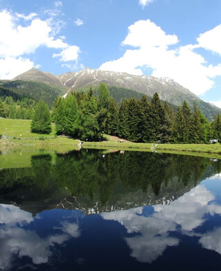
concentration is required. On a narrow forest path along the Inn, the route goes up and down again and again (sometimes with a pushing section) and demands some technical riding skills. At Gstals you change back to the cycle path and follow it through Ried to the starting point, where the bathing lake is already waiting for you to cool off.
tour2
1910m
55.78km
Start point
Bikepark Serfaus-Fiss-Ladis
End point
Bikepark Serfaus-Fiss-Ladis

