


Hiking tour
Border tour Plamortboden via Kompatsch


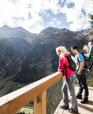
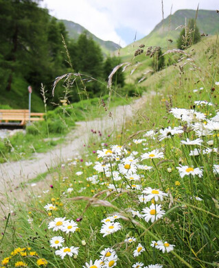
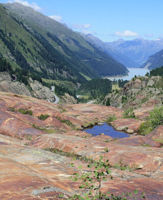
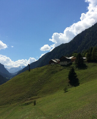
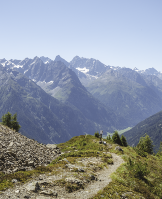
Starting from Nauders, the route first goes along Via Claudia Augusta no. 26, past the Bergkastel valley station, towards the Italian border. In the Fuhrmannsloch district, branch off to the left and follow a narrow path No 27. Then a forest path leads after approximately 250 metres to the Kompatscher stream. The route continues to the left via an old cart track to the Kompatschhof with a beautiful chapel. Trail no. 37 begins above the mountain farm. The mountain trail leads through a varied forest to the Italian border. If you are in good condition, you can take a detour to the tank traps and the lookout rock. Trail no.36 leads over the Plamortboden slightly uphill to Stieralm and after a stop, further to the mountain station of the Bergkastel cable car (no.33).
4.5:0h
907m
12.2km
Highest point
2188m
Start point
Nauders
End point
Nauders