

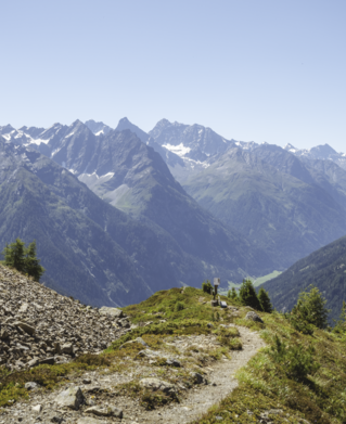


Hiking tour
Wassertalweg nach Fendels


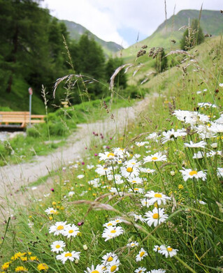
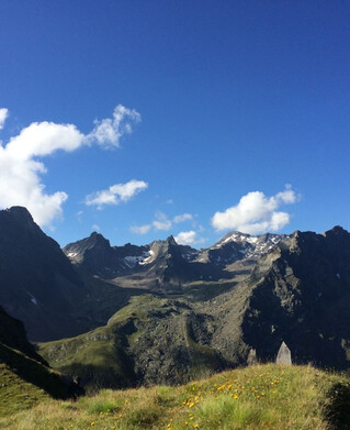
The path branches off to the left at the southern edge of Ried and leads across the long meadow. At the end of the long meadow you reach a farm, from there the path leads left to Hohlenegg, from there to the toboggan hut and uphill to the hamlet of Gfrans. After a few hairpin bends above Gfrans you enter a forest path. After some time you come to a crossroads where you follow the Wassertalweg in the direction of Ried.
tour1
5:0h
648m
10km
Highest point
1431m
Start point
Ried