


Hiking tour
Trail - Parcour - Mutzkopfrunde


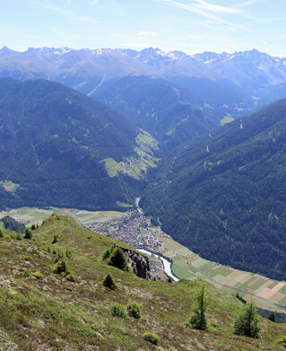
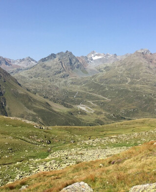
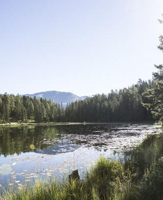
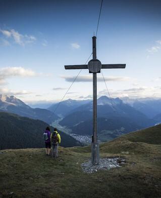
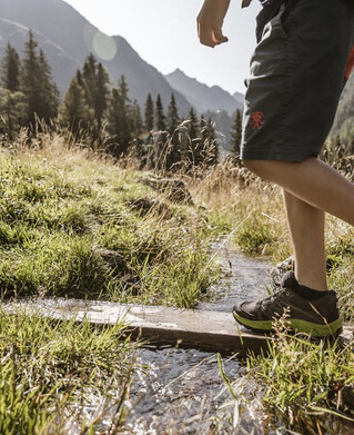
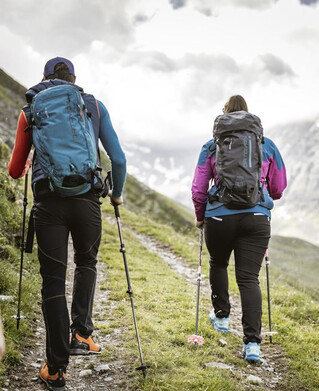
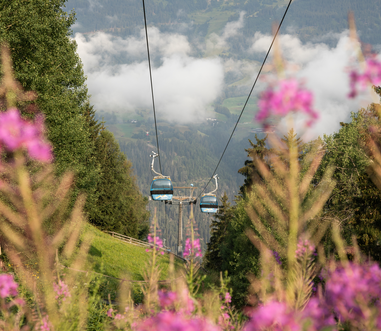
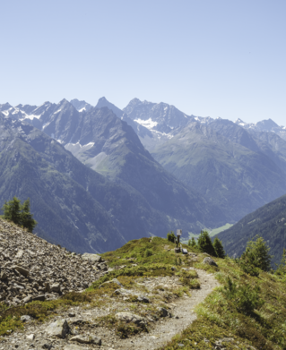
The hike begins at the valley station of the Mutzkopf cable car. Via the Hackenweg and the Lawerzwiesen, you reach the Mösle natural pond (barbecue facilities and forest playground) along route no. 4. Continue along route no. 5b, along the Wasserwaal to the Pflanzgarten. Trail no. 5 leads through the Moaßwald forest, along the Swiss border to the so-called "Losschrofen". Across high moorland areas you reach the natural monument of the Black Lake (1,725 m), a postglacial lake of the last ice age. A walk around this nature reserve reveals mallards and tufted ducks, dragonflies as well as bilberries, cranberries, alpine roses and cotton grass. The many water lilies on the banks of the reed belt are particularly worth seeing. The descent leads through woods, past the Tiefhof farm and along the asphalt path to the Riatschhof farm (refreshments available). Continue along the old Riatschweg, meadows and along the old ski trail. Here you branch off to the right and walk through a short stretch of forest to the main road, cross it and arrive at Gasthof Martha via the Stillebach bridge.
tour1
400m
8.7km
Highest point
1743m
Start point
Talstation Mutzkopflift
End point
Gasthof Martha