Hiking tour

Frudiger

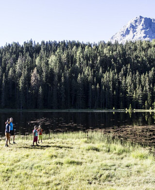
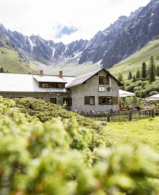
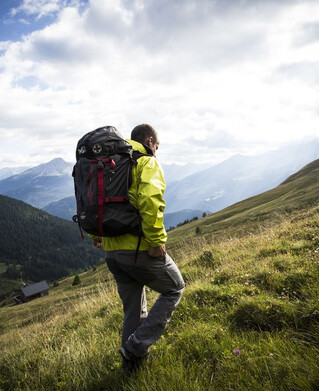
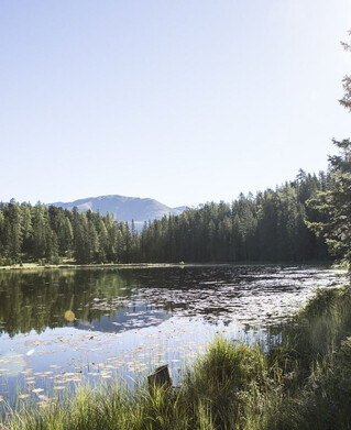
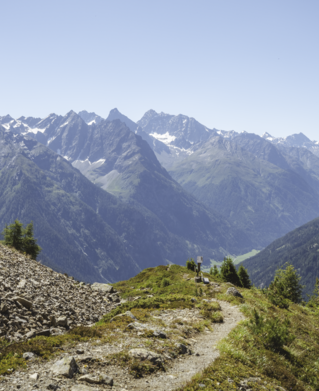
Drive to Greit up to the Tscheylücke. Here, at the beginning of the wonderful high valley of the Pfundser Tschey, a forest path starts on the left at the roundabout up to high mountain meadows. The sign Frudiger points to a path across pastures, through the Swiss stone pine forest up to the summit. A wonderful view of the neighbouring Samnaun group and the holiday resort Pfunds opens up.

Tip: Every Thursday a hiking bus drives to the Tschey
tour1
2.3:1.8h
543m
4.1km
Highest point
2139m
Start point
Tscheylücke Pfunds
End point
Frudiger

Similar Tours

Medium
400m | 8.7km
Hiking tour
Trail - Parcour - Mutzkopfrunde
Begin: Talstation Mutzkopflift
End: Gasthof Martha
Easy
16m | 1h | 3.5km
Hiking tour
Wanderung über Wanderweg 9c zum Riatschhof
Begin: Bergstation Mutzkopfsessellift
End: Nauders Dorf
Medium
760m | 5h | 8.8km
Hiking tour
Große Verpeilrunde
Begin: Feichten
End: Verpeilhütte
Medium
769m | 8h | 18.3km
Hiking tour
Kobler Alm - Bergwiesen - Hahntennenberg - Ochsenberg
Begin: Parkplatz Kobler Alm
End: Infobüro Pfunds
Medium
268m | 1.75h | 3.1km
Hiking tour
Kleine Verpeilrunde
Begin: Verpeilalm
End: Verpeilalm
Easy
310m | 2.75h | 5.4km
Hiking tour
Oberer Lärchenwiesenweg
Begin: Parkplatz Bergbahn Fendels
End: Parkplatz Bergbahn Fendels
Medium
860m | 10h | 8.7km
Hiking tour
Roter Schrofen (2.702m) und Mittagskopf (2.616m)
Begin: Infobüro Kaunertal
End: Infobüro Kaunertal
Easy
518m | 4h | 8.4km
Hiking tour
Wanderung zum Schwarzen See
Begin: Nauders
End: Nauders