Hiking tour
Margreit - Eggele- Tösens
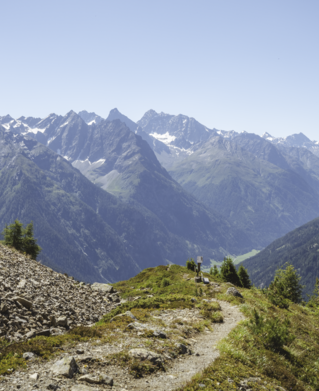
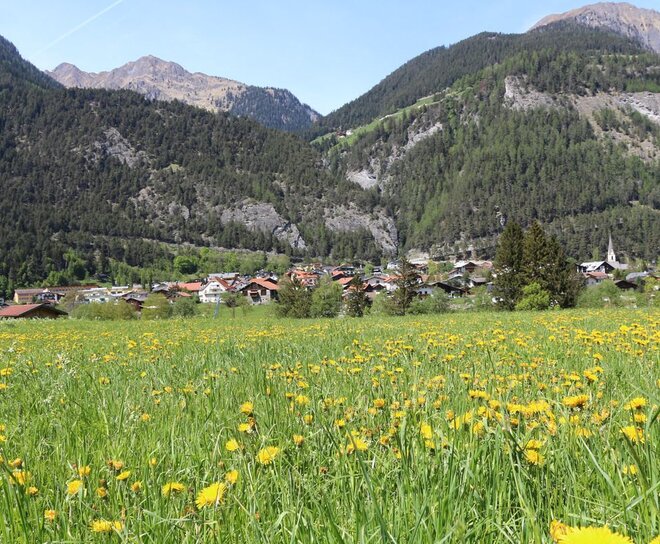
From the information office Pfunds you walk towards the village, over the bridge over the river Inn with the tower "Turaloch" up towards the village. Turn left in the direction of the Dorf roundabout, continue in the roundabout in the direction of Greit. Along the Greiterstraße past the Margreit bend, the path branches off left into the forest and leads along a wider forest path above Margreit towards Landeck. The path leads to the hamlet of Eggele and from here it goes slightly downhill to the neighbouring village of Tösens.
Tip: Return journey with the public buses
Tip: Return journey with the public buses
3.8:1.8h
380m
11.2km
Highest point
1355m
Start point
Infobüro Pfunds
End point
Gemeindeamt Tösens

