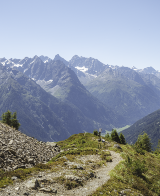
Hiking tour

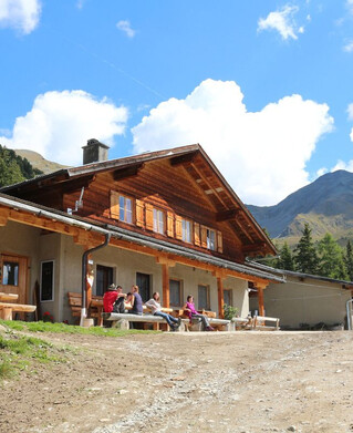
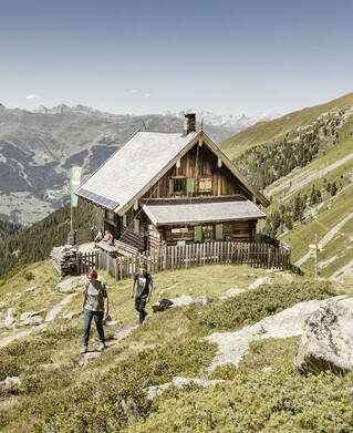
Staföller Alm (1.922 m)

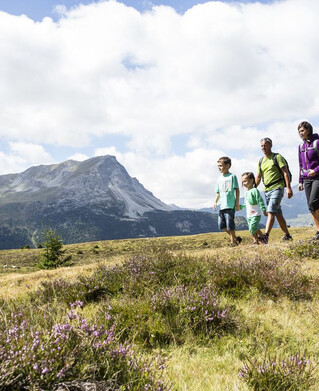
At the southern end of the village of Ried, an asphalted road leads left over lush fields and meadows (long meadow) slightly uphill past a single farm. The Christiner Bach is crossed and on an asphalt road the route leads to the hamlet of Freitzberg. From there you follow a forest road always slightly ascending through shady woods to the Stafföler Alm (not managed). The alp is located at the edge of the forest. For any effort you may have made during the ascent you will be rewarded here with a wonderful view of the Upper Inn Valley and the sunny plateau of Serfaus-Fiss-Ladis.
tour1
4.5:0h
1093m
7.9km

Similar Tours

Difficult
1024m | 7h | 14.6km
Hiking tour
Fluchtwand über Valdigastei
Begin: Nauders Dorf
End: Fluchtwand
Easy
804m | 6.7km
Hiking tour
Bergkastel via Taschaloch
Begin: Nauders Zentrum
End: Bergstation Bergkastelseilbahn
Medium
779m | 6h | 4.9km
Hiking tour
Krummer See (2.584 m) und Kugleter See (2.751 m)
Begin: Falkaunsalm
End: Krummer See + Kugleter See
Easy
82m | 1h | 1.7km
Hiking tour
Seeles Seen
Begin: Parkmöglichkeit Riffeltal (an der Gletscherstraße)
End: Seeles Seen
Medium
565m | 4.5h | 6.3km
Hiking tour
Nörderberg
Begin: Ochsenalm
End: Nörderberg
Easy
102m | 2.4km
Hiking tour
Via Lawerz to Norbertshöhe
Begin: Nauders Zentrum
End: Gasthof Norbertshöhe
Medium
665m | 7h | 15.7km
Hiking tour
Mataunkopf (& Ganderbildspitze)
End: Nauders
Difficult
356m | 3h | 5.4km
Hiking tour
Kaunergrathütte - Verpeilhptte
Begin: Verpeil- oder Kaunergrathütte
End: Kaunergrat- oder Verpeilhütte